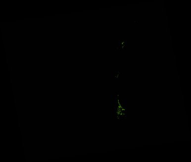
ga_ls_mangrove_cover_cyear_3_x48y20_2013-01-01_final
dataset of product ga_ls_mangrove_cover_cyear_3
Indexed by odc_writer
,
created
Region
x48y20
for
1st January 2013
Fields 🔗
cloud_cover
•
creation_time
2022-04-01 08:37:58
crs_raw
epsg:3577
dataset_maturity
final
format
GeoTIFF
id
0b5e24d2-6b89-45ea-ab70-83599e843b78
instrument
ETM_OLI_TIRS
label
ga_ls_mangrove_cover_cyear_3_x48y20_2013-01-01_final
lat
-31.203 to -30.218
lon
152.276 to 153.439
platform
landsat-7,landsat-8
product_family
mangrove_cover
region_code
x48y20
time
2013-01-01 00:00:00 to 2013-12-31 23:59:59
Related Datasets 🔗
ga_ls_mangrove_cover_cyear_3_x48y20_2013-01-01_final