ga_s2ls_intertidal_cyear_3_x146y176_2021--P1Y_final.stac-item
dataset of product ga_s2ls_intertidal_cyear_3
Indexed by odc_admin
,
created
Region
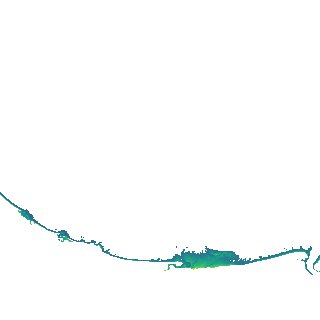
x146y176
for
1st January 2021
Fields 🔗
creation_time
2024-03-26 07:26:13
dataset_maturity
final
eo_gsd
10.0
format
GeoTIFF
id
0314281a-8149-451e-8155-863ddf89af90
instrument
ETM_OLI_TIRS_MSI
intertidal_hat
2.03
intertidal_hot
1.97
intertidal_lat
-2.52
intertidal_lot
-1.64
intertidal_offset_high
1.33
intertidal_offset_low
19.36
intertidal_otr
3.61
intertidal_spread
79.31
intertidal_tr
4.55
intertidal_tr_class
macrotidal
label
•
lat
-12.124 to -11.823
lon
134.302 to 134.596
platform
landsat-7,landsat-8,landsat-9,sentinel-2a,sentinel-2b
product_family
intertidal
region_code
x146y176
time
2021-01-01 00:00:00 to 2021-12-31 23:59:59