ga_s2ls_intertidal_cyear_3_x151y175_2022--P1Y_final.stac-item
dataset of product ga_s2ls_intertidal_cyear_3
Indexed by odc_admin
,
created
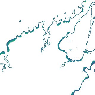
Region
x151y175
for
1st January 2022
Fields 🔗
creation_time
2024-03-31 23:46:44
dataset_maturity
final
eo_gsd
10.0
format
GeoTIFF
id
22a005d2-729e-4b5b-8456-c1e3856689be
instrument
ETM_OLI_TIRS_MSI
intertidal_hat
2.25
intertidal_hot
2.0
intertidal_lat
-2.5
intertidal_lot
-1.51
intertidal_offset_high
5.23
intertidal_offset_low
20.89
intertidal_otr
3.51
intertidal_spread
73.88
intertidal_tr
4.75
intertidal_tr_class
macrotidal
label
•
lat
-12.383 to -12.08
lon
135.749 to 136.046
platform
landsat-7,landsat-8,landsat-9,sentinel-2a,sentinel-2b
product_family
intertidal
region_code
x151y175
time
2022-01-01 00:00:00 to 2022-12-31 23:59:59