ga_s2ls_intertidal_cyear_3_x192y144_2018--P1Y_final.stac-item
dataset of product ga_s2ls_intertidal_cyear_3
Indexed by odc_admin
,
created
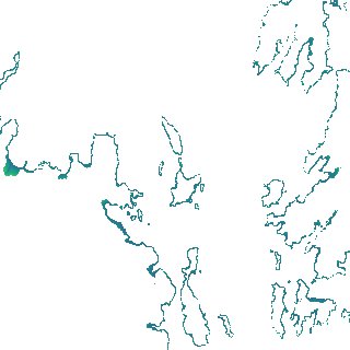
Region
x192y144
for
1st January 2018
Fields 🔗
creation_time
2024-03-26 08:00:41
dataset_maturity
final
eo_gsd
10.0
format
GeoTIFF
id
2ee051ca-1550-4762-a0f9-9dfcf3845570
instrument
ETM_OLI_TIRS_MSI
intertidal_hat
2.25
intertidal_hot
2.23
intertidal_lat
-1.9
intertidal_lot
-1.19
intertidal_offset_high
0.39
intertidal_offset_low
17.04
intertidal_otr
3.42
intertidal_spread
82.57
intertidal_tr
4.15
intertidal_tr_class
macrotidal
label
•
lat
-20.421 to -20.098
lon
148.655 to 149.0
platform
landsat-7,landsat-8,sentinel-2a,sentinel-2b
product_family
intertidal
region_code
x192y144
time
2018-01-01 00:00:00 to 2018-12-31 23:59:59