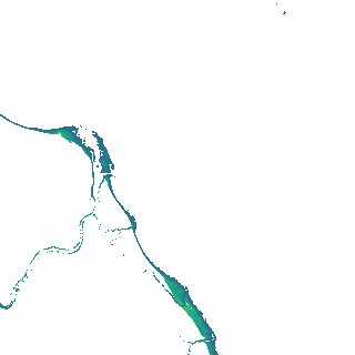
ga_s2ls_intertidal_cyear_3_x157y161_2019--P1Y_final.stac-item
dataset of product ga_s2ls_intertidal_cyear_3
Indexed by odc_admin
,
created
Region
x157y161
for
1st January 2019
Fields 🔗
creation_time
2024-03-28 09:29:50
dataset_maturity
final
eo_gsd
10.0
format
GeoTIFF
id
328b7c1d-6790-43ac-96d8-8315dcd0196a
instrument
ETM_OLI_TIRS_MSI
intertidal_hat
0.98
intertidal_hot
0.78
intertidal_lat
-1.3
intertidal_lot
-1.2
intertidal_offset_high
8.77
intertidal_offset_low
4.22
intertidal_otr
1.98
intertidal_spread
87.01
intertidal_tr
2.28
intertidal_tr_class
mesotidal
label
•
lat
-16.409 to -16.106
lon
137.656 to 137.967
platform
landsat-7,landsat-8,sentinel-2a,sentinel-2b
product_family
intertidal
region_code
x157y161
time
2019-01-01 00:00:00 to 2019-12-31 23:59:59