ga_s2ls_intertidal_cyear_3_x181y069_2021--P1Y_final.stac-item
dataset of product ga_s2ls_intertidal_cyear_3
Indexed by odc_admin
,
created
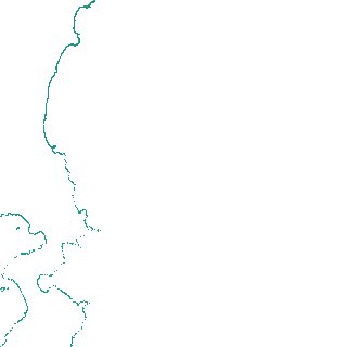
Region
x181y069
for
1st January 2021
Fields 🔗
creation_time
2024-03-26 07:39:49
dataset_maturity
final
eo_gsd
10.0
format
GeoTIFF
id
3a52fb56-1604-45a9-b100-b937a3049583
instrument
ETM_OLI_TIRS_MSI
intertidal_hat
0.77
intertidal_hot
0.71
intertidal_lat
-0.8
intertidal_lot
-0.58
intertidal_offset_high
4.01
intertidal_offset_low
14.17
intertidal_otr
1.29
intertidal_spread
81.82
intertidal_tr
1.57
intertidal_tr_class
microtidal
label
•
lat
-42.227 to -41.896
lon
148.219 to 148.641
platform
landsat-7,landsat-8,landsat-9,sentinel-2a,sentinel-2b
product_family
intertidal
region_code
x181y069
time
2021-01-01 00:00:00 to 2021-12-31 23:59:59