ga_s2ls_intertidal_cyear_3_x192y143_2020--P1Y_final.stac-item
dataset of product ga_s2ls_intertidal_cyear_3
Indexed by odc_admin
,
created
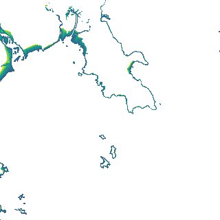
Region
x192y143
for
1st January 2020
Fields 🔗
creation_time
2024-03-31 04:07:20
dataset_maturity
final
eo_gsd
10.0
format
GeoTIFF
id
4ae3ce6f-cb51-42ea-a0e8-9e0419325e2a
instrument
ETM_OLI_TIRS_MSI
intertidal_hat
2.96
intertidal_hot
2.77
intertidal_lat
-2.55
intertidal_lot
-1.55
intertidal_offset_high
3.39
intertidal_offset_low
18.22
intertidal_otr
4.32
intertidal_spread
78.39
intertidal_tr
5.51
intertidal_tr_class
macrotidal
label
•
lat
-20.706 to -20.383
lon
148.695 to 149.041
platform
landsat-7,landsat-8,sentinel-2a,sentinel-2b
product_family
intertidal
region_code
x192y143
time
2020-01-01 00:00:00 to 2020-12-31 23:59:59