ga_s2ls_intertidal_cyear_3_x111y161_2016--P1Y_final.stac-item
dataset of product ga_s2ls_intertidal_cyear_3
Indexed by odc_admin
,
created
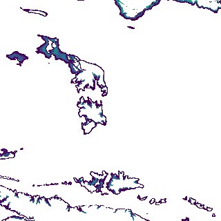
Region
x111y161
for
1st January 2016
Fields 🔗
creation_time
2024-04-02 21:54:13
dataset_maturity
final
eo_gsd
10.0
format
GeoTIFF
id
64ccc9f8-200f-46cb-bcb8-559cdeb422df
instrument
ETM_OLI_TIRS_MSI
intertidal_hat
5.55
intertidal_hot
3.34
intertidal_lat
-5.33
intertidal_lot
-3.88
intertidal_offset_high
20.28
intertidal_offset_low
13.33
intertidal_otr
7.22
intertidal_spread
66.39
intertidal_tr
10.88
intertidal_tr_class
macrotidal
label
•
lat
-16.302 to -15.994
lon
123.949 to 124.265
platform
landsat-7,landsat-8,sentinel-2a,sentinel-2b
product_family
intertidal
region_code
x111y161
time
2016-01-01 00:00:00 to 2016-12-31 23:59:59