ga_s2ls_intertidal_cyear_3_x149y166_2017--P1Y_final.stac-item
dataset of product ga_s2ls_intertidal_cyear_3
Indexed by odc_admin
,
created
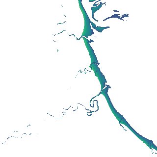
Region
x149y166
for
1st January 2017
Fields 🔗
creation_time
2024-04-02 13:00:53
dataset_maturity
final
eo_gsd
10.0
format
GeoTIFF
id
66374fc4-55cb-4993-8326-f440eb0463b1
instrument
ETM_OLI_TIRS_MSI
intertidal_hat
1.26
intertidal_hot
0.86
intertidal_lat
-1.76
intertidal_lot
-1.62
intertidal_offset_high
13.24
intertidal_offset_low
4.44
intertidal_otr
2.48
intertidal_spread
82.32
intertidal_tr
3.02
intertidal_tr_class
mesotidal
label
•
lat
-15.036 to -14.737
lon
135.238 to 135.541
platform
landsat-7,landsat-8,sentinel-2a,sentinel-2b
product_family
intertidal
region_code
x149y166
time
2017-01-01 00:00:00 to 2017-12-31 23:59:59