ga_s2ls_intertidal_cyear_3_x198y132_2020--P1Y_final.stac-item
dataset of product ga_s2ls_intertidal_cyear_3
Indexed by odc_admin
,
created
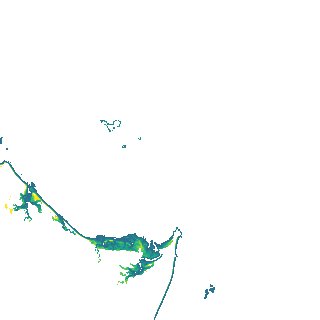
Region
x198y132
for
1st January 2020
Fields 🔗
creation_time
2024-04-02 06:48:01
dataset_maturity
final
eo_gsd
10.0
format
GeoTIFF
id
6ce1c101-c084-4bf1-8cee-72c059002c12
instrument
ETM_OLI_TIRS_MSI
intertidal_hat
2.5
intertidal_hot
2.38
intertidal_lat
-2.2
intertidal_lot
-1.29
intertidal_offset_high
2.58
intertidal_offset_low
19.3
intertidal_otr
3.67
intertidal_spread
78.12
intertidal_tr
4.7
intertidal_tr_class
macrotidal
label
•
lat
-23.588 to -23.262
lon
151.027 to 151.387
platform
landsat-7,landsat-8,sentinel-2a,sentinel-2b
product_family
intertidal
region_code
x198y132
time
2020-01-01 00:00:00 to 2020-12-31 23:59:59