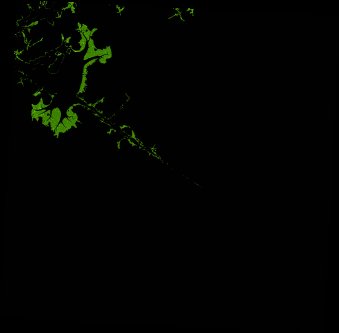
ga_ls_mangrove_cover_cyear_3_x20y39_2013-01-01_final
dataset of product ga_ls_mangrove_cover_cyear_3
Indexed by odc_writer
,
created
Region
x20y39
for
1st January 2013
Fields 🔗
cloud_cover
•
creation_time
2022-04-01 08:36:10
crs_raw
epsg:3577
dataset_maturity
final
format
GeoTIFF
id
6e0b4483-8d79-4ac6-919d-7c98a4690a5a
instrument
ETM_OLI_TIRS
label
ga_ls_mangrove_cover_cyear_3_x20y39_2013-01-01_final
lat
-16.092 to -15.174
lon
124.858 to 125.793
platform
landsat-7,landsat-8
product_family
mangrove_cover
region_code
x20y39
time
2013-01-01 00:00:00 to 2013-12-31 23:59:59
Related Datasets 🔗
ga_ls_mangrove_cover_cyear_3_x20y39_2013-01-01_final