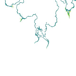
ga_s2ls_intertidal_cyear_3_x119y168_2018--P1Y_final.stac-item
dataset of product ga_s2ls_intertidal_cyear_3
Indexed by odc_admin
,
created
Region
x119y168
for
1st January 2018
Fields 🔗
creation_time
2024-04-02 08:12:42
dataset_maturity
final
eo_gsd
10.0
format
GeoTIFF
id
76a08d2e-2b76-4bfb-8065-658efe4c3807
instrument
ETM_OLI_TIRS_MSI
intertidal_hat
1.94
intertidal_hot
1.5
intertidal_lat
-1.49
intertidal_lot
-0.93
intertidal_offset_high
12.85
intertidal_offset_low
16.18
intertidal_otr
2.43
intertidal_spread
70.96
intertidal_tr
3.43
intertidal_tr_class
mesotidal
label
•
lat
-14.384 to -14.079
lon
126.422 to 126.727
platform
landsat-7,landsat-8,sentinel-2a,sentinel-2b
product_family
intertidal
region_code
x119y168
time
2018-01-01 00:00:00 to 2018-12-31 23:59:59