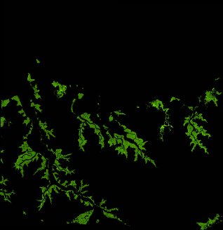
ga_ls_mangrove_cover_cyear_3_x26y44_2013-01-01_final
dataset of product ga_ls_mangrove_cover_cyear_3
Indexed by odc_writer
,
created
Region
x26y44
for
1st January 2013
Fields 🔗
cloud_cover
•
creation_time
2022-04-01 08:36:30
crs_raw
epsg:3577
dataset_maturity
final
format
GeoTIFF
id
77b0f8d6-dc94-4c6d-bda2-f0d020f6ef54
instrument
ETM_OLI_TIRS
label
ga_ls_mangrove_cover_cyear_3_x26y44_2013-01-01_final
lat
-11.847 to -10.951
lon
130.273 to 131.142
platform
landsat-7,landsat-8
product_family
mangrove_cover
region_code
x26y44
time
2013-01-01 00:00:00 to 2013-12-31 23:59:59
Related Datasets 🔗
ga_ls_mangrove_cover_cyear_3_x26y44_2013-01-01_final