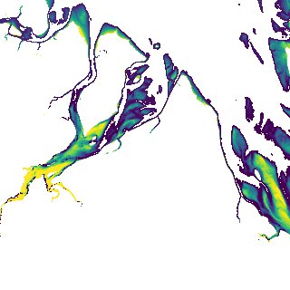
ga_s2ls_intertidal_cyear_3_x194y136_2017--P1Y_final.stac-item
dataset of product ga_s2ls_intertidal_cyear_3
Indexed by odc_admin
,
created
Region
x194y136
for
1st January 2017
Fields 🔗
creation_time
2024-04-02 14:36:14
dataset_maturity
final
eo_gsd
10.0
format
GeoTIFF
id
7b7722c8-840f-4aa6-8b0c-bb00346cafff
instrument
ETM_OLI_TIRS_MSI
intertidal_hat
5.19
intertidal_hot
4.41
intertidal_lat
-4.73
intertidal_lot
-3.3
intertidal_offset_high
7.77
intertidal_offset_low
14.53
intertidal_otr
7.71
intertidal_spread
77.7
intertidal_tr
9.92
intertidal_tr_class
macrotidal
label
•
lat
-22.619 to -22.295
lon
149.602 to 149.956
platform
landsat-7,landsat-8,sentinel-2a,sentinel-2b
product_family
intertidal
region_code
x194y136
time
2017-01-01 00:00:00 to 2017-12-31 23:59:59