ga_s2ls_intertidal_cyear_3_x147y175_2019--P1Y_final.stac-item
dataset of product ga_s2ls_intertidal_cyear_3
Indexed by odc_admin
,
created
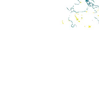
Region
x147y175
for
1st January 2019
Fields 🔗
creation_time
2024-04-02 01:15:11
dataset_maturity
final
eo_gsd
10.0
format
GeoTIFF
id
8319ce7b-7c69-4134-8457-c0980c796af5
instrument
ETM_OLI_TIRS_MSI
intertidal_hat
2.44
intertidal_hot
2.27
intertidal_lat
-2.76
intertidal_lot
-1.37
intertidal_offset_high
3.36
intertidal_offset_low
26.67
intertidal_otr
3.64
intertidal_spread
69.97
intertidal_tr
5.2
intertidal_tr_class
macrotidal
label
•
lat
-12.413 to -12.112
lon
134.596 to 134.891
platform
landsat-7,landsat-8,sentinel-2a,sentinel-2b
product_family
intertidal
region_code
x147y175
time
2019-01-01 00:00:00 to 2019-12-31 23:59:59