ga_s2ls_intertidal_cyear_3_x144y102_2018--P1Y_final.stac-item
dataset of product ga_s2ls_intertidal_cyear_3
Indexed by odc_admin
,
created
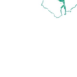
Region
x144y102
for
1st January 2018
Fields 🔗
creation_time
2024-03-28 07:51:22
dataset_maturity
final
eo_gsd
10.0
format
GeoTIFF
id
85d46591-9453-477e-9779-26f17a6139d6
instrument
ETM_OLI_TIRS_MSI
intertidal_hat
0.89
intertidal_hot
0.64
intertidal_lat
-0.63
intertidal_lot
-0.38
intertidal_offset_high
16.33
intertidal_offset_low
16.82
intertidal_otr
1.02
intertidal_spread
66.84
intertidal_tr
1.52
intertidal_tr_class
microtidal
label
•
lat
-33.424 to -33.132
lon
134.072 to 134.424
platform
landsat-7,landsat-8,sentinel-2a,sentinel-2b
product_family
intertidal
region_code
x144y102
time
2018-01-01 00:00:00 to 2018-12-31 23:59:59