ga_s2ls_intertidal_cyear_3_x172y074_2021--P1Y_final.stac-item
dataset of product ga_s2ls_intertidal_cyear_3
Indexed by odc_admin
,
created
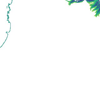
Region
x172y074
for
1st January 2021
Fields 🔗
creation_time
2024-03-26 05:38:42
dataset_maturity
final
eo_gsd
10.0
format
GeoTIFF
id
8c73ffd7-59d9-4567-8e6e-137c6b28b058
instrument
ETM_OLI_TIRS_MSI
intertidal_hat
1.03
intertidal_hot
0.72
intertidal_lat
-1.07
intertidal_lot
-0.99
intertidal_offset_high
16.37
intertidal_offset_low
4.94
intertidal_otr
1.71
intertidal_spread
78.69
intertidal_tr
2.1
intertidal_tr_class
mesotidal
label
•
lat
-41.062 to -40.74
lon
144.664 to 145.072
platform
landsat-7,landsat-8,landsat-9,sentinel-2a,sentinel-2b
product_family
intertidal
region_code
x172y074
time
2021-01-01 00:00:00 to 2021-12-31 23:59:59