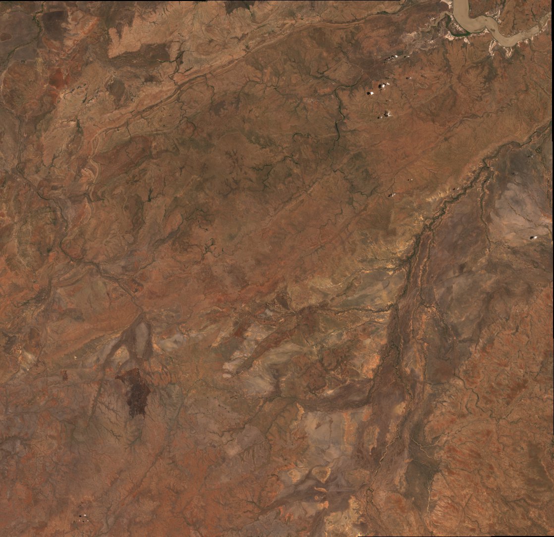
ga_s2am_ard_3-2-1_52LEH_2016-10-27_final.stac-item
dataset of product ga_s2am_ard_3
Indexed by odc_writer
,
created
Region
52LEH
for
27th October 2016
Fields 🔗
cloud_cover
0.004
creation_time
2022-10-31 09:04:36
crs_raw
epsg:32752
dataset_maturity
final
eo_gsd
10.0
eo_sun_azimuth
84.348
eo_sun_elevation
20.567
fmask_clear
99.498
fmask_cloud_shadow
0.003
fmask_snow
0.436
fmask_water
0.059
format
GeoTIFF
gqa_abs_iterative_mean_x
0.31
gqa_abs_iterative_mean_xy
0.35
gqa_abs_iterative_mean_y
0.17
gqa_abs_x
0.36
gqa_abs_xy
0.45
gqa_abs_y
0.27
gqa_cep90
0.58
gqa_iterative_mean_x
0.3
gqa_iterative_mean_xy
0.3
gqa_iterative_mean_y
0.03
gqa_iterative_stddev_x
0.17
gqa_iterative_stddev_xy
0.27
gqa_iterative_stddev_y
0.21
gqa_mean_x
0.31
gqa_mean_xy
0.31
gqa_mean_y
0.03
gqa_stddev_x
0.48
gqa_stddev_xy
0.7
gqa_stddev_y
0.51
id
8e7f82a6-214f-4df1-bd95-5d6ce71e63a7
instrument
MSI
label
•
lat
-16.369 to -15.374
lon
129.0 to 130.028
platform
sentinel-2a
product_family
ard
region_code
52LEH
s2cloudless_clear
99.975
s2cloudless_cloud
0.025
sentinel_datastrip_id
S2A_OPER_MSI_L1C_DS_SGS__20161027T063212_S20161027T013933_N02.04
sentinel_product_name
S2A_OPER_MSI_L1C_TL_SGS__20161027T063212_A007035_T52LEH_N02
sentinel_tile_id
S2A_OPER_MSI_L1C_TL_SGS__20161027T063212_A007035_T52LEH_N02.04
time
2016-10-27 01:39:33 to 2016-10-27 01:39:33