ga_s2ls_intertidal_cyear_3_x144y102_2020--P1Y_final.stac-item
dataset of product ga_s2ls_intertidal_cyear_3
Indexed by odc_admin
,
created
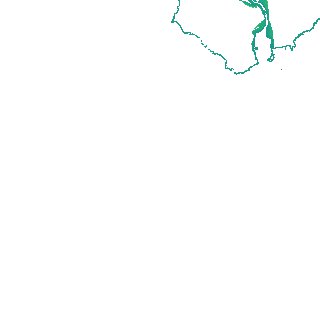
Region
x144y102
for
1st January 2020
Fields 🔗
creation_time
2024-04-01 22:28:22
dataset_maturity
final
eo_gsd
10.0
format
GeoTIFF
id
90feb1a8-fd34-4db0-9512-fe095ccbdd3a
instrument
ETM_OLI_TIRS_MSI
intertidal_hat
0.9
intertidal_hot
0.64
intertidal_lat
-0.66
intertidal_lot
-0.48
intertidal_offset_high
16.82
intertidal_offset_low
11.5
intertidal_otr
1.12
intertidal_spread
71.68
intertidal_tr
1.56
intertidal_tr_class
microtidal
label
•
lat
-33.424 to -33.132
lon
134.072 to 134.424
platform
landsat-7,landsat-8,sentinel-2a,sentinel-2b
product_family
intertidal
region_code
x144y102
time
2020-01-01 00:00:00 to 2020-12-31 23:59:59