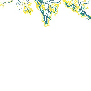
ga_s2ls_intertidal_cyear_3_x197y131_2021--P1Y_final.stac-item
dataset of product ga_s2ls_intertidal_cyear_3
Indexed by odc_admin
,
created
Region
x197y131
for
1st January 2021
Fields 🔗
creation_time
2024-03-26 05:18:07
dataset_maturity
final
eo_gsd
10.0
format
GeoTIFF
id
92896e4b-649b-4293-b10d-50614f744210
instrument
ETM_OLI_TIRS_MSI
intertidal_hat
2.7
intertidal_hot
2.53
intertidal_lat
-2.49
intertidal_lot
-1.32
intertidal_offset_high
3.3
intertidal_offset_low
22.43
intertidal_otr
3.85
intertidal_spread
74.27
intertidal_tr
5.19
intertidal_tr_class
macrotidal
label
•
lat
-23.913 to -23.588
lon
150.761 to 151.121
platform
landsat-7,landsat-8,landsat-9,sentinel-2a,sentinel-2b
product_family
intertidal
region_code
x197y131
time
2021-01-01 00:00:00 to 2021-12-31 23:59:59