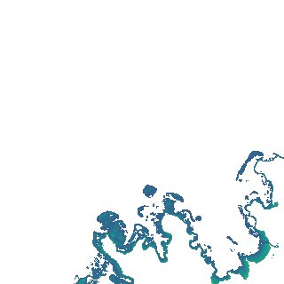
ga_s2ls_intertidal_cyear_3_x137y179_2017--P1Y_final.stac-item
dataset of product ga_s2ls_intertidal_cyear_3
Indexed by odc_admin
,
created
Region
x137y179
for
1st January 2017
Fields 🔗
creation_time
2024-04-02 12:38:56
dataset_maturity
final
eo_gsd
10.0
format
GeoTIFF
id
c0e1a817-90df-4ebb-82eb-616c31b49d7a
instrument
ETM_OLI_TIRS_MSI
intertidal_hat
1.03
intertidal_hot
0.68
intertidal_lat
-1.58
intertidal_lot
-1.5
intertidal_offset_high
13.53
intertidal_offset_low
3.0
intertidal_otr
2.18
intertidal_spread
83.47
intertidal_tr
2.61
intertidal_tr_class
mesotidal
label
•
lat
-11.259 to -10.962
lon
131.713 to 132.0
platform
landsat-7,landsat-8,sentinel-2a,sentinel-2b
product_family
intertidal
region_code
x137y179
time
2017-01-01 00:00:00 to 2017-12-31 23:59:59