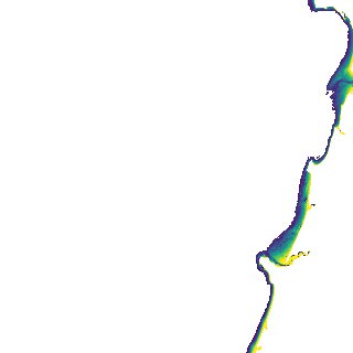
ga_s2ls_intertidal_cyear_3_x103y151_2019--P1Y_final.stac-item
dataset of product ga_s2ls_intertidal_cyear_3
Indexed by odc_admin
,
created
Region
x103y151
for
1st January 2019
Fields 🔗
creation_time
2024-04-02 00:04:44
dataset_maturity
final
eo_gsd
10.0
format
GeoTIFF
id
c8b759eb-cbde-40b6-a6ba-128e868239ec
instrument
ETM_OLI_TIRS_MSI
intertidal_hat
5.01
intertidal_hot
4.25
intertidal_lat
-5.06
intertidal_lot
-2.64
intertidal_offset_high
7.54
intertidal_offset_low
24.02
intertidal_otr
6.89
intertidal_spread
68.43
intertidal_tr
10.07
intertidal_tr_class
macrotidal
label
•
lat
-19.025 to -18.714
lon
121.325 to 121.653
platform
landsat-7,landsat-8,sentinel-2a,sentinel-2b
product_family
intertidal
region_code
x103y151
time
2019-01-01 00:00:00 to 2019-12-31 23:59:59