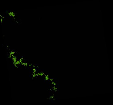
ga_ls_mangrove_cover_cyear_3_x46y32_2011-01-01_final
dataset of product ga_ls_mangrove_cover_cyear_3
Indexed by odc_writer
,
created
Region
x46y32
for
1st January 2011
Fields 🔗
cloud_cover
•
creation_time
2022-04-01 08:27:40
crs_raw
epsg:3577
dataset_maturity
final
format
GeoTIFF
id
d3420854-b994-4201-809d-ca78e50c6ec4
instrument
ETM_TM
label
ga_ls_mangrove_cover_cyear_3_x46y32_2011-01-01_final
lat
-21.275 to -20.305
lon
148.695 to 149.739
platform
landsat-5,landsat-7
product_family
mangrove_cover
region_code
x46y32
time
2011-01-01 00:00:00 to 2011-12-31 23:59:59
Related Datasets 🔗
ga_ls_mangrove_cover_cyear_3_x46y32_2011-01-01_final