ga_s2ls_intertidal_cyear_3_x181y073_2016--P1Y_final.stac-item
dataset of product ga_s2ls_intertidal_cyear_3
Indexed by odc_admin
,
created
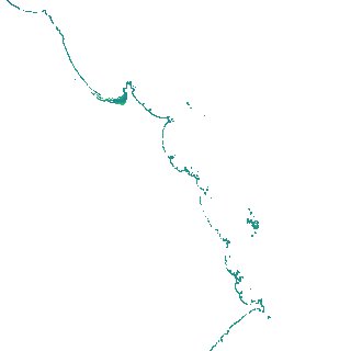
Region
x181y073
for
1st January 2016
Fields 🔗
creation_time
2024-04-02 23:01:59
dataset_maturity
final
eo_gsd
10.0
format
GeoTIFF
id
de2db4e9-74e4-4630-8706-0def9d0ec81c
instrument
ETM_OLI_TIRS_MSI
intertidal_hat
0.9
intertidal_hot
0.86
intertidal_lat
-0.93
intertidal_lot
-0.69
intertidal_offset_high
2.61
intertidal_offset_low
13.46
intertidal_otr
1.55
intertidal_spread
83.94
intertidal_tr
1.83
intertidal_tr_class
microtidal
label
•
lat
-41.056 to -40.728
lon
148.031 to 148.447
platform
landsat-7,landsat-8,sentinel-2a,sentinel-2b
product_family
intertidal
region_code
x181y073
time
2016-01-01 00:00:00 to 2016-12-31 23:59:59