ga_s2ls_intertidal_cyear_3_x175y064_2020--P1Y_final.stac-item
dataset of product ga_s2ls_intertidal_cyear_3
Indexed by odc_admin
,
created
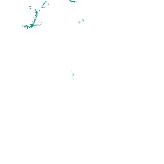
Region
x175y064
for
1st January 2020
Fields 🔗
creation_time
2024-04-02 06:06:00
dataset_maturity
final
eo_gsd
10.0
format
GeoTIFF
id
e1b7c22b-cbc7-40d6-8367-642cae64da45
instrument
ETM_OLI_TIRS_MSI
intertidal_hat
0.42
intertidal_hot
0.27
intertidal_lat
-0.63
intertidal_lot
-0.48
intertidal_offset_high
14.32
intertidal_offset_low
15.02
intertidal_otr
0.75
intertidal_spread
70.67
intertidal_tr
1.05
intertidal_tr_class
microtidal
label
•
lat
-43.916 to -43.586
lon
146.184 to 146.608
platform
landsat-7,landsat-8,sentinel-2a,sentinel-2b
product_family
intertidal
region_code
x175y064
time
2020-01-01 00:00:00 to 2020-12-31 23:59:59