ga_s2ls_intertidal_cyear_3_x193y140_2017--P1Y_final.stac-item
dataset of product ga_s2ls_intertidal_cyear_3
Indexed by odc_admin
,
created
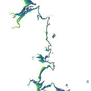
Region
x193y140
for
1st January 2017
Fields 🔗
creation_time
2024-03-28 18:39:48
dataset_maturity
final
eo_gsd
10.0
format
GeoTIFF
id
e684642c-cd63-4595-9cd7-a6bed794f7ef
instrument
ETM_OLI_TIRS_MSI
intertidal_hat
3.77
intertidal_hot
3.69
intertidal_lat
-3.44
intertidal_lot
-2.02
intertidal_offset_high
1.18
intertidal_offset_low
19.68
intertidal_otr
5.71
intertidal_spread
79.14
intertidal_tr
7.21
intertidal_tr_class
macrotidal
label
•
lat
-21.522 to -21.199
lon
149.124 to 149.474
platform
landsat-7,landsat-8,sentinel-2a,sentinel-2b
product_family
intertidal
region_code
x193y140
time
2017-01-01 00:00:00 to 2017-12-31 23:59:59